On 3 October a tornado hit the Ulladulla town centre with a gust front of 98 km/h. Fifteen properties were affected and two homes were left uninhabitable. The Bureau classed it "sub-severe".
Set that against the Bureau's own scale. Damaging gusts start at 90 km/h or more, and destructive gusts start at 125 km/h or more. By our arithmetic, Ulladulla's gust front was only 8 km/h over the damaging line (98 minus 90) and 27 km/h short of destructive (125 minus 98).
So a damaging wind warning is not a distant, cyclone-sized threat. It is the level at which real homes get hurt. When one is issued for the Central Coast, close and secure your garage door, clear the driveway, park under cover, and check the door once the wind drops.
What does a damaging wind warning mean?
- 125 km/h or more gusts: destructive, very dangerous thunderstorm Bureau of Meteorology
- above 100 to 120 km/h: may cause widespread damage Bureau of Meteorology
- 98 km/h: Ulladulla tornado gust front, 3 Oct 2026, BOM classed sub-severe ABC News
- around 90 to 100 km/h gusts: large branches broken, some signs blown over, roofing tiles removed Bureau of Meteorology
- 90 km/h or more gusts: damaging, Severe Weather Warning and Severe Thunderstorm Warning trigger Bureau of Meteorology
- 63 km/h or more sustained: gale-force, Severe Weather Warning Bureau of Meteorology
The Bureau of Meteorology issues a Severe Weather Warning for two kinds of wind: sustained gale-force winds of 63 km/h or more, or damaging gusts of 90 km/h or more. Those thresholds apply everywhere except Tasmania and the NSW alps, so they apply to Gosford and the whole of Brisbane Water.
"Sustained" means wind that keeps blowing at that strength. A "gust" is the short burst on top, and gusts do most of the work on a door, a fence or a roof.
Above both sits a separate tier: destructive winds, gusts of 125 km/h or more.
People often read a damaging wind warning as a cyclone-style alert, but the Bureau issues it at 90 km/h gusts, and the same 90 km/h gust triggers Severe Thunderstorm Warnings.
When is a thunderstorm severe, and when is it very dangerous?
| Severe thunderstorm | Very dangerous thunderstorm | |
|---|---|---|
| Wind gusts | damaging, 90 km/h or more | destructive, 125 km/h or more |
| Hail | large, 2 cm or more | giant, 5 cm or more |
| Tornado | a tornado | tornadoes |
| Rain | heavy rain that may cause flash flooding | intense rainfall |
Most Central Coast wind warnings arrive with a thunderstorm, so the storm categories matter as much as the wind ones.
A thunderstorm is severe if it produces damaging gusts of 90 km/h or more, large hail of 2 cm or more, a tornado, or heavy rain that may cause flash flooding. Any one of those is enough.
A very dangerous thunderstorm steps up a level, with destructive gusts of 125 km/h or more, giant hail of 5 cm or more, tornadoes or intense rainfall.
Can strong wind damage my garage door?
The Bureau's own storm spotters' guide says what these speeds do. Gusts of around 90 to 100 km/h can break large branches off trees, blow over some signs and remove roofing tiles. Above 100 to 120 km/h, the handbook says gusts may cause widespread damage, including trees uprooted and larger-scale structural damage to buildings.
Neither the Bureau nor the SES says a 90 km/h gust will break a garage door. The risk is in the way a garage door sits in the house.
In many homes the garage door is the largest opening in the building. It is a broad, thin panel that wind presses on across its whole face. Flying debris, such as a branch, a bin or a tile from next door, has a big target. A door that is already worn, loose in its tracks or dented takes that load worse than a sound one. If a door gives way, wind and debris have a way into the house.
The kind of wind matters too. Straight-line wind damage mostly lines up with the wind direction and spreads over several kilometres. Tornado damage is abrupt and localised, severe in one place and almost nil nearby, along a narrow path of 50 to 200 m. That is why one street can be fine while the next one is cleaning up.
How much warning will I get?
Sometimes plenty, sometimes very little. Severe Weather Warnings can come anywhere from one hour to 36 hours ahead. Severe Weather Warnings are updated routinely every 6 hours while the threat remains.
Thunderstorms are the hard case. They can be quite localised and develop quickly, and the exact spot is hard to predict even with short lead times.
No warning doesn't mean no risk: the SES says you may not always receive an official warning. So watch the sky as well as your phone. The SES lists the natural signs as heavy cloud, darkening skies, increasing wind, thunder, lightning and heavy rain.
When warnings do come, there are three ways to get them:
- The SES levels. NSW SES warnings use the Australian Warning System: Advice, Watch and Act, and Emergency Warning.
- An app. The Hazards Near Me app lets you set watch zones, so you can add home, work and the kids' school.
- A phone line. You can hear Bureau warnings by phone on 1300 659 210.
Why storm season matters on the Central Coast this spring
NSW SES storm-season incidents, last season
NSW storm season runs September to April, "although major storms can happen at any time of the year". The NSW Government puts the higher-risk stretch for strong winds and heavy rain between October and March. We are in it now.
Last season the NSW SES responded to more than 23,416 incidents. About 7,000 were fallen trees and more than 6,500 were leaking or damaged roofs. Together that is close to six jobs in every ten (our estimate: about 7,000 plus more than 6,500 is roughly 13,500, out of 23,416). Both are the kind of damage the Bureau's handbook links to gusts of around 90 to 100 km/h, and a fallen tree or a loose roof is often one driveway away from a garage door.
Ulladulla showed that spring storms do reach the NSW coast. The Bureau called that tornado "quite unusual" for the NSW coast, and NSW logged 438 calls for help in 24 hours.
The background is warm. The Bureau's seasonal outlook says an El Niño is well established and strengthening, waters are especially warm off southern NSW, and warmer water can fuel storms and high-intensity rain. That is a seasonal outlook, not a storm forecast for Gosford. It is still a good reason to have the garage sorted before the next warning rather than during it.
What to do when a warning is issued
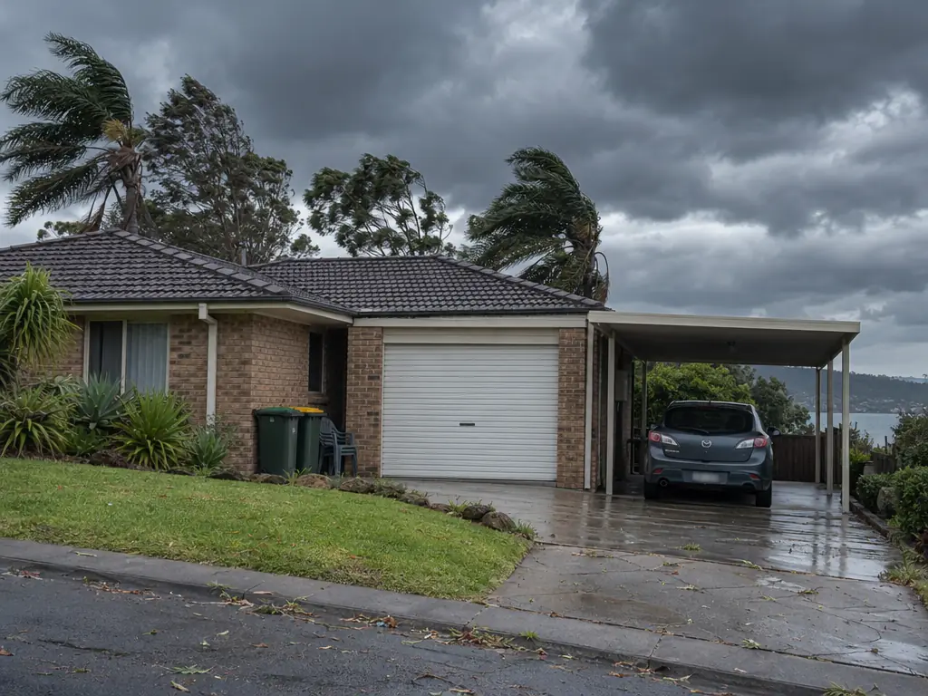
- Bureau of Meteorology; NSW SES
- Bureau of Meteorology
- Bureau of Meteorology
- Bureau of Meteorology
- Bureau of Meteorology
- NSW SES
The Bureau's own advice is short: check forecasts and warnings, listen to local radio, secure or store items that could blow around, secure all external doors and windows, and park vehicles under solid cover. Here is how that applies around the garage:
- Close the garage door fully. An open or half-open door catches wind like a sail. Don't leave it up "for a minute" while you pack the car.
- Clear the driveway and the side of the house. Bins, pot plants, kids' bikes and outdoor chairs are what turn into debris. Put them inside the garage, or tie them down.
- Park under solid cover. If the garage is full of gear, a carport is better than the street. A spot under a big tree is the worst choice of all.
- Know your opener's manual release. Storms can cut power. Find out how your opener disengages before you need to, so you are not working it out in the dark.
- Watch the sky. If it turns dark and the wind picks up, act on that, warning or not.
For homes that cop the weather often, the NSW Government suggests a licensed builder check structural integrity against high winds, and that you keep home and contents insurance current.
What to do after a storm
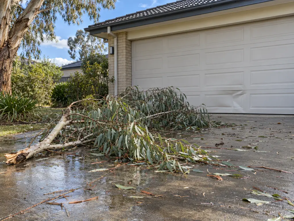
- NSW SES
- NSW SES
- NSW SES
Look before you touch. From a safe distance, check the door for dents, panels that are bent or have come off their tracks, and a door that sits crooked or rattles in the wind.
Don't force a damaged door. A garage door runs on springs and cables under real tension. If a door is bent or off its track, pushing it up or down by hand, or driving the opener against it, can make the damage worse or let something under load snap. Leave it where it is, isolate the opener at the power point if you can do it safely, and use another way in and out.
Then work through these steps:
- Photograph everything before anything is moved or cleaned up.
- Call your insurer. If your property is damaged, contact your insurer as soon as possible to lodge a claim.
- Get it assessed. The SES says to seek assessments from qualified assessors for damaged structures, electrical items and insurance.
- Use the right number. For storm help, call the NSW SES on 132 500. For anything life-threatening, call Triple Zero (000).
The numbers in one place
- Sustained gale-force wind warning: 63 km/h or more
- Damaging wind gust warning: 90 km/h or more
- Destructive wind gusts: 125 km/h or more
- Severe Weather Warning lead time: one hour to 36 hours, updated every 6 hours
- NSW SES incidents last storm season: more than 23,416
- Ulladulla tornado gust front, 3 October: 98 km/h
- Bureau warnings by phone: 1300 659 210. NSW SES: 132 500
Getting your door looked at
A door that runs smoothly and sits square in its tracks is in better shape for storm season than one that already shudders, sticks or rattles. If yours is in the second group, deal with it now, while the sky is clear.
If a storm has already dented a panel, knocked the door off its track or left it hanging crooked, leave it closed and don't try to force it. Take your photos, call your insurer, then ask Brisbane Water Garage Doors for a quote on a repair or a service through our get a quote page. Tell us what you can see and where you are around Brisbane Water, and keep the photos handy.